Flying in fall
October 5, 2018
First flight to France – what you need to know
November 1, 2018First hop across the water
I had imagined myself flying over the English Channel that day, but perhaps some angelic host was guiding me towards a rather less daunting water crossing when it all went pear-shaped. I glanced away from my flightpath to the Isle of Wight and saw a blue haze of horizon merging into the blue sea in the distance to the left and understood why a channel crossing can be so severely disorientating. A trip to Sandown on the Isle of Wight is a perfect first hop across the water, and no paperwork required.
There wasn’t as much planning time as I would have liked before we took off, but luckily this was a trip I had planned a few weeks earlier. The weather hadn’t played ball then, but I had plotted a route and checked out the airfield and its approach. Our circular path took us along the southern edge of Luton, squeezing between Wycombe Air Park and Heathrow, over the MATZ Odiham and straight down to Sandown, making sure we didn’t clip Southampton’s airspace. The return path was south of Gatwick, coming up through Kent to cross the Thames at Dartford.
The views of the Thames River around Cookham and Henley-on-Thames are quite spectacular and it’s difficult not to get distracted by them. Unfortunately, you are still below the London TMA at that point, and not allowed to fly above 2500 ft, so best keep your eyes ahead. I would have been completely thrown by a parachute air display that resulted in a temporary restricted area, RA(T), around Wycombe. I was starting to route around it when John got through and had a quick chat to the man in the tower who told us they were on lunch now, gave us a squawk code and let us cross their zone, bidding us a cheerful goodbye as we exited. It all goes to show you often get what you want if you ask politely.
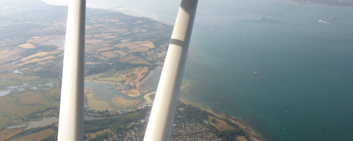
There was no response from the military airfield Odiham, so rather than go around, we climbed over 3500 ft. It is the first time I have been that high, so it was a new experience for me. We started climbing as soon as the TMA allowed it, to be as high as possible over the town of Reading. Worth remembering though that at that point the North Downs are also coming up to meet you. By now I was getting used to a bird’s eye view of 4500 ft, which meant the air was smoother than it might have been lower down in the midday heat. I would love to have been lower as we crossed the Solent though, with the wetlands of Hayling Island below us. In the distance I could see Portsmouth’s imposing Spinnaker Tower. Before I could get too distracted by the horizon’s haze, I was told to start my descent.
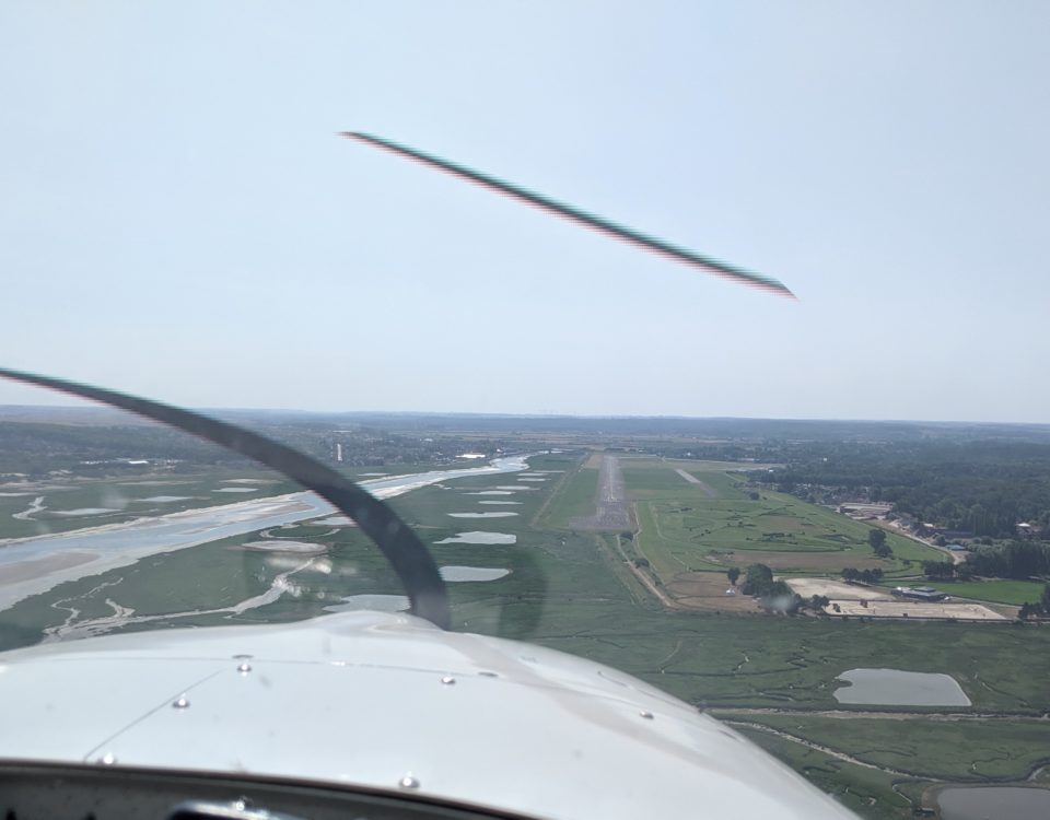
We had been listening to Sandown Radio for some time before I needed to call. I had heard a helicopter making waves, heard which runway they were using and now I needed to drop quite sharply to a circuit level of 1000ft. Why is it that the best photographs are to be had at the point of highest workload for a pilot? The wetlands, the boats below, the beaches on the island would all have been gorgeous shots. Instead I was setting up for a landing, somewhat disconcerted by the airfield Bembridge which is difficult to avoid as you get down to circuit height, right where they are climbing out. Sandown’s runway is notoriously bumpy – I knew that because a fellow pilot had had to abandon his aircraft and its buckled leg there – but I managed a fully held off landing. I needed John’s guidance on making my circuit bigger than I am used to and then a friendly voice directed us to our parking spot.
Waiting for a bus, I was happy to spot a taxi leaving the airfield. We didn’t have all afternoon, and I wanted a paddle and an ice-cream. It was one of those sweltering days we’ve had this summer. It was a good call, until we couldn’t get phone reception under the cliff face to ring for a lift back to the airfield!
The return trip was even more beautiful, flying high along the South coast, talking to no-one until London was on the skyline. We hugged Gatwick’s zone, watched the late afternoon sunlight on the Weald until I recognised where I had once flown to Leeds Castle. What surprised me most was how John kept tracking our route on a physical map, and that sometimes it is quicker and easier to find out who to call or what height to fly on the map than on the GPS. Any queries about our route would be resolved on the Skydemon on his phone, rather than disturbing the route as it was planned on the aircraft’s GPS.
Landing back home after a long trip can be tricky, John warned me, as you are tired and drop your guard because you feel back in your comfort zone. I was chuffed I managed to get in on 08, which is a downhill runway and not my favourite. It was one of those where you think, “I got it down, and that’s all that matters. Now for a cuppa!”
